Flood Hazard · Poland

Reading Flood-Risk Maps Near Polish Rivers
Official hazard layers, zone designations, and legend symbols — explained for property owners and landowners in Poland.
Latest Articles
Flood Hazard Maps — Key Topics
Three areas that matter when you own or plan to buy property near a river in Poland.

Map Reading
How to Read Flood Hazard Map Symbols in Poland
A walkthrough of the colour layers, line types, and annotation codes used on maps published by ISOK and regional water authorities.
Risk Zones
Understanding Risk Zones Near the Vistula and Odra Rivers
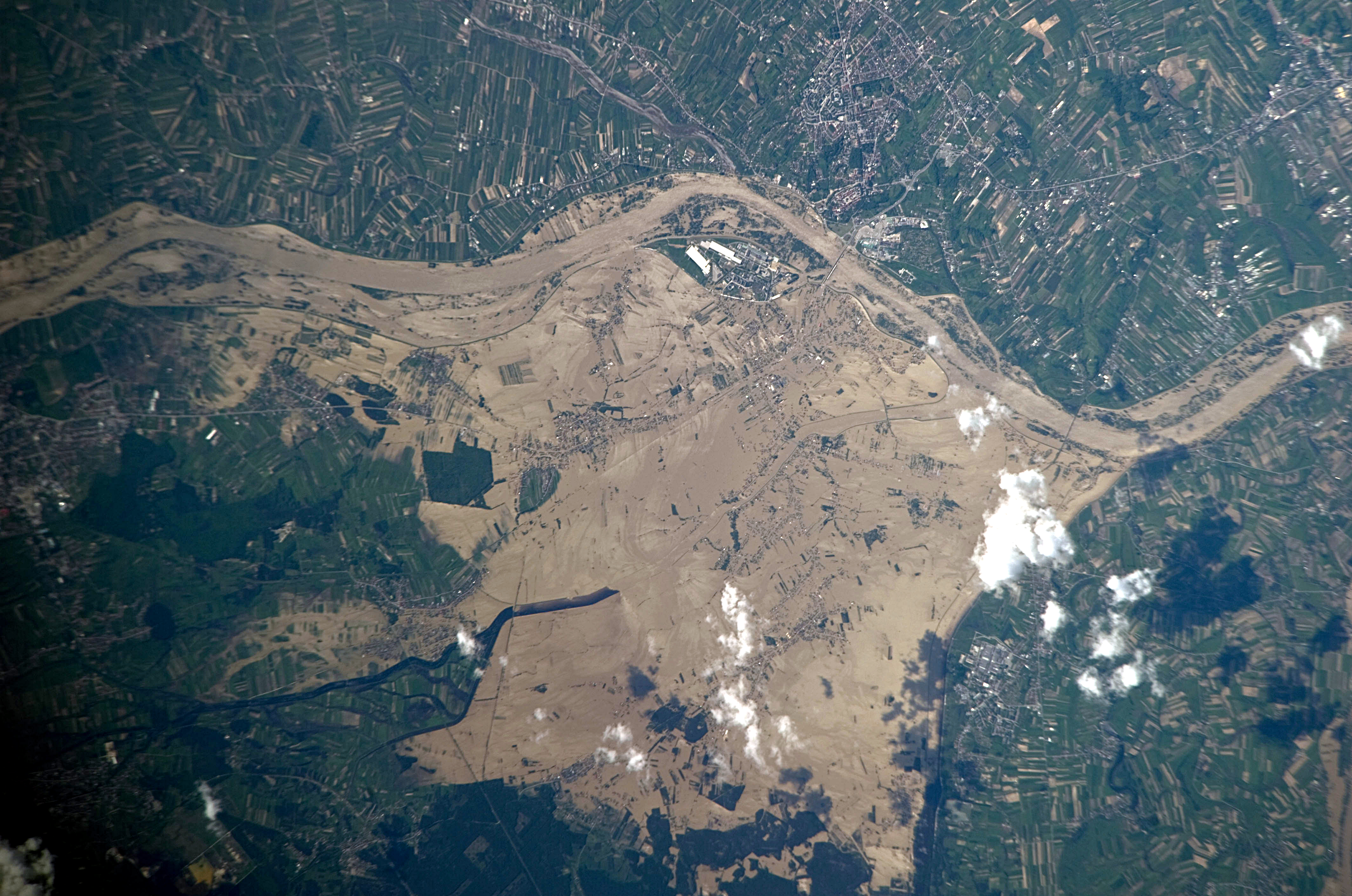
How Q10, Q100, and Q500 return-period zones differ, and what each designation means for land use decisions along Poland's two largest rivers.

Regulations
Floodplain Regulations and Property Ownership Near Polish Rivers
The legal framework under the Water Law Act, construction restrictions in hazard zones, and what owners must verify before building.
Why It Matters
Flood Maps and Land Ownership
Polish flood hazard maps carry legal weight. Understanding their layers before purchasing or developing property near a watercourse reduces exposure to restrictions and insurance complications.
ISOK — the National System
The IT System of the Country's Protection against extraordinary threats (ISOK) is the primary public source of flood hazard and risk maps in Poland. It covers all significant watercourses and is maintained by the Institute of Meteorology and Water Management (IMGW-PIB) and the national water authority Wody Polskie.
isok.gov.pl ↗
Three Probability Layers
Official maps distinguish at least three return-period scenarios: a high-probability event (Q10 — once per decade on average), a medium-probability event (Q100 — once per century), and a low-probability or extreme event (Q500 — once every five centuries). Each layer has a distinct colour and set of land-use implications under Polish law.
Reading the Legend
Flood hazard maps use consistent symbology defined by national regulation. Hatching patterns indicate inundation depth ranges; solid fills mark areas where water depth exceeds 2 metres during the Q100 scenario. Understanding these conventions is necessary before interpreting any specific parcel's situation.
Verification Before Purchase
Property buyers in Poland can cross-reference the Geoportal national mapping service and local zoning studies (studium uwarunkowań) to confirm whether a parcel falls within a designated flood hazard area. Local communal offices (urząd gminy) are the authoritative source for parcel-level zoning decisions.
geoportal.gov.pl ↗
Contact
Send a Question
For general enquiries about content on this site. Responses are not guaranteed and this form does not constitute professional legal or technical advice.
This site contains general informational content only. It does not constitute legal, engineering, or insurance advice. Always consult the relevant public authority or a qualified professional before making decisions about property in a flood hazard area.